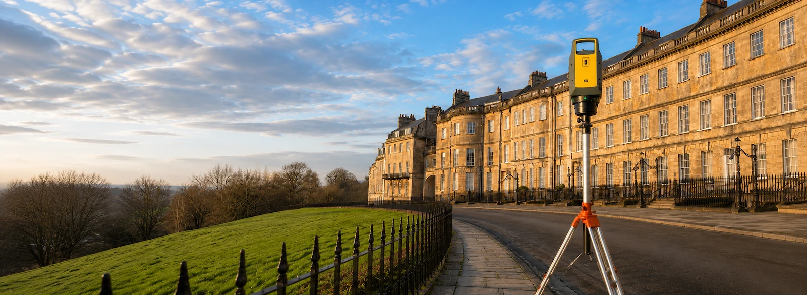
Independent Surveyors Based Near Bristol
Since 2019, Pinpoint Mapping has provided land surveys, measured building surveys, CAD drawings and 3D laser scanning across Bristol, Bath and the South West.
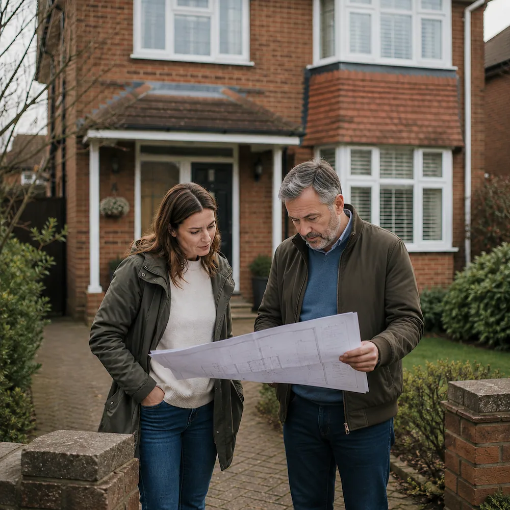
Located just north of Bristol, we support architects, property developers, homeowners, engineers and property professionals with accurate survey drawings and site information for planning, design, refurbishment and construction projects.
Our deliverables include topographical survey drawings, measured building survey drawings, CAD plans and 3D point cloud data tailored to the requirements of each project.
Where required, survey drawings can be related to the Ordnance Survey National Grid.